The Rideau Heritage route is the most scenic of Kingston’s tour routes, with winding, narrow roads that take you past the local locks and mills of the Rideau Canal and through the towns of Elgin, Westport, Perth, and Smiths Falls, as well as past Frontenac Provincial Park.
This 281 km (175 mile) route takes about 4.5 hours.
Starting at the Visitor Information Centre at 209 Ontario Street, drive east on Ontario Street. Turn left onto Queen Street.
Turn right onto Montreal Street. Continue on to Battersea Road/County Road 11.
Turn right onto Kingston Mills Road/County Road 21.
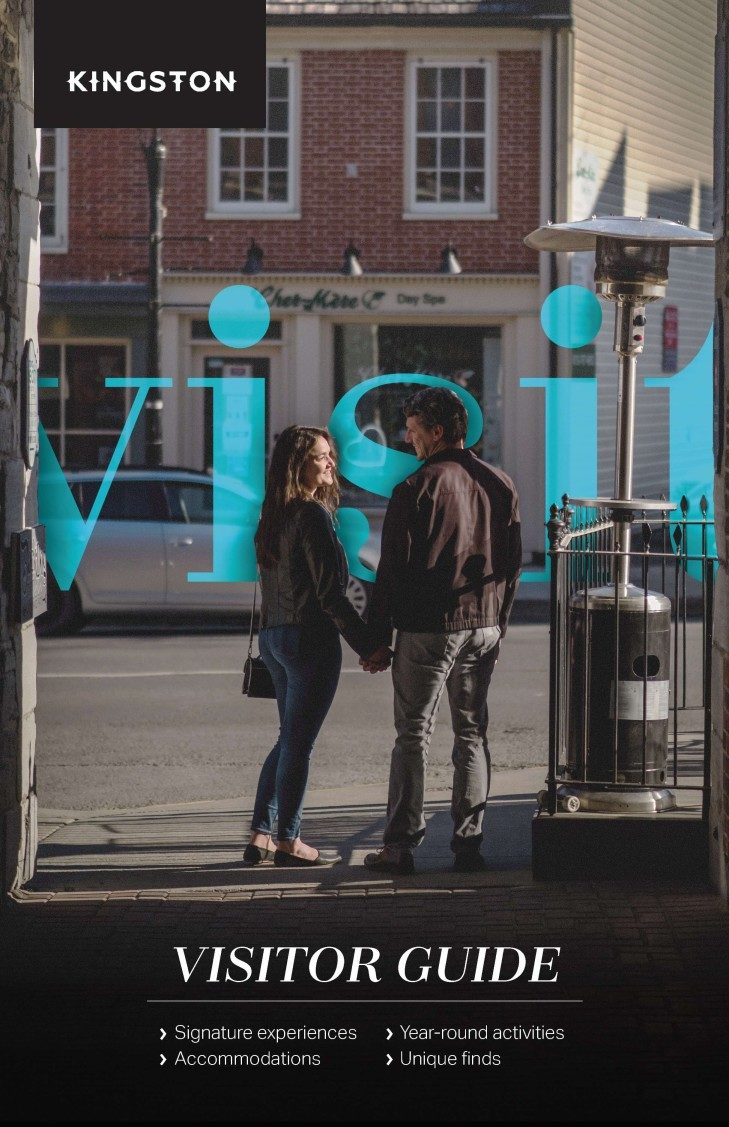
Points of interest: Kingston
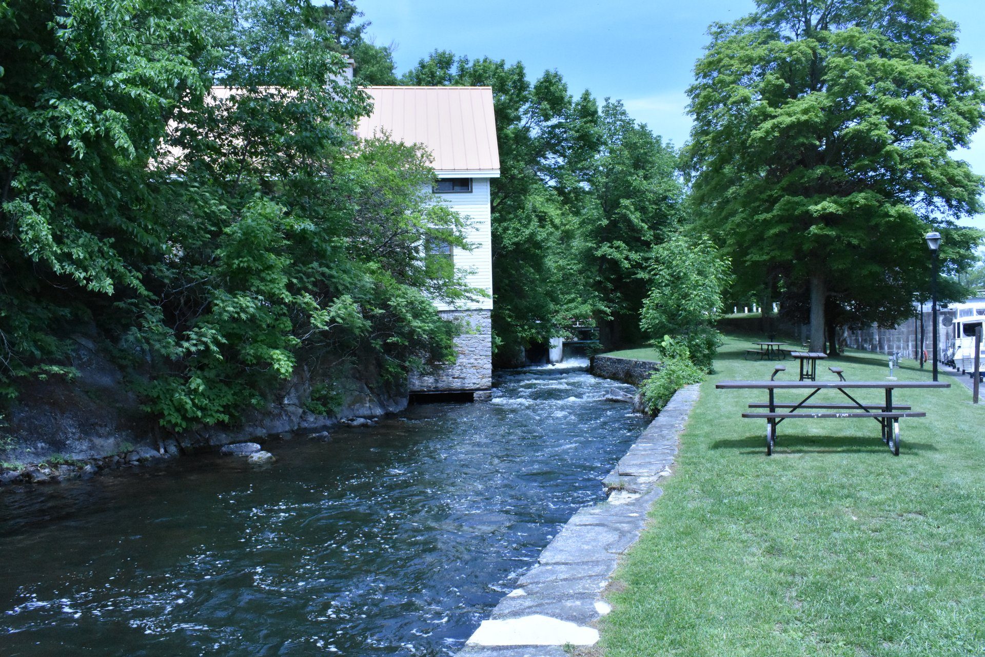
Kingston Mills (Rideau Canal, Locks 46-49)
This was the first mill to be built on the Rideau in 1784 at Cataraqui Falls. The site today features set of three locks, a turning basin, a detached upper lock, the main CN train line, and the Robert Anglin Visitor’s Centre.
From Kingston Mills, head east on Kingston Mills Road/Kingston County Road 21. Turn left on to Highway 15 N.
Past Seeley’s Bay, turn left onto Kingston County Road11/Jones Falls Road.
Jones Falls
Jones Falls is perhaps the most scenic lock stations on the Rideau. Jones Falls is home to the “Great Stone Arch Dam” and a beautiful cascading waterfall. When it was completed in 1831, it was the highest dam in North America.
Head northeast on Sand Lake Road toward Glover Road.
Turn left onto. Bush Road. Turn left onto Davis Lock Road.
Davis Lock
Davis Lock, also known as a “solitude lock”, was named after Walter Davis, Jr., who built a sawmill there in 1818 on Sand Lake. The preserved stone house was used as a lockmaster’s house for over a century. It was restored in 1999 and stands to be the best-preserved example of a lockmaster’s home along the entire Rideau.
Head north on Davis Lock Road toward Fox Run. Turn left onto Cross Road. Turn left onto Chaffey’s Lock Road/County Road 9.
 Chaffey’s Lock
A feature of this lock is the Lockmaster’s House Museum, which has interpretive displays of the
early days at Chaffey’s. The Opinicon Resort Hotel, built in the 1800s, is now closed for overnight stays, but offers dining options and an ice cream shop.
Head southeast on Chaffey’s Lock Road/County Road 9 toward Iron Bridge Lane. Turn onto Highway 15 N.
Turn left onto County Road 42 W.
Turn right onto Spring Street.
Westport
Visit the Rideau District Museum, take a walking tour of the historic buildings, explore the village’s shops, or take a artist studio tour.
Head east on Spring Street. Turn left onto George Street. Turn right onto Bedford Street/Regional Road 12.
Turn left on to Main Street/Route 10.
Turn right onto Foley Mountain Lane.
Foley Mountain Conservation Area
Foley Mountain Conservation Area is located high atop a granite ridge overlooking the Upper Rideau lake and village of Westport. Enjoy the scenic lookout, hiking trails and picnic areas.
Head northwest on Foley Mountain Lane toward Grady Road.
Turn right onto Route 10.
Turn left onto Gore Street East/County Road 1 (signs for County Road 43/County Road 10. Follow Gore Street East, and turn left onto Mill Street to make a stop at Stewart Park.
Perth
Perth is an excellent example of small-town Canadian heritage fused with modern vibrance. Explore the community while making a stop at Stewart Park along the Tay River, the waterfront, or the farmers’ market.
Head northeast on Mill Street. Turn right onto Gore Street East/County Road 43.
Turn left onto Craig Street/Lanark County Road 43.
Turn right onto William Street West to visit the Railway Museum.
Smiths Falls
Railway Museum of Eastern Ontario
The Railway Museum is located on 10.5 acres in the heart of Smiths Falls. The station building, built in 1912 by the Canadian Northern Ontario Railway, is a National Historic Site.
Head southeast on William Street W toward Church Street W. Turn left to stay on William Street W. Turn right onto Beckwith Street/Highway 15 S.
Rideau Canal Visitor Centre
Housed in a 19th-century stone mill, this is the flagship interpretation centre for the historic Rideau Canal system – a National Historic Site of Canada, a designated Canadian Heritage River, and a UNESCO World Heritage destination.
Head south on Highway 15 S toward Canal Street. Turn right to stay on Highway 15 S (signs for Kingston). Turn left onto County Road 5. Turn right onto Washburn Road. Turn right onto County Road 42 W. Turn left onto Lyndhurst Road (signs for County Road 33.)
Lyndhurst Bridge
This structure was built in 1856–57 and may be the oldest stone bridge in existence in Ontario. A fine example of masonry arch construction, the three-span bridge was built of local field stone.
Head southwest on Lyndhurst Road toward Cook Street. Turn left onto Highway 15 S. Turn right onto Kingston 12/Sunbury Road. Turn right onto Canal Road.
Upper and Lower Brewers Mills
The Upper Brewers Mills Lockstation (Rideau Canal locks 43-44) is located along a 400-meter man-made basin.
Head south on Canal Road. Turn left onto South Frontenac Road 12/Sunbury Road. Turn right onto Highway 15 S (signs for 401 E).
Turn right onto Washburn Road to visit the Lower Brewers Mills Lockstation.
The Lower Brewers Mills Lockstation (Rideau Canal lock 45) is located at the end of the Cataraqui River which forms a shallow lake. Both locations have a lockmaster’s house. The house at Lower Brewers Mills was built in 1842 as a defensible residence for the lockmaster during military resistance against the United States.
Head east on Washburn Road toward Highway 15 N. Turn right onto Route 15/Highway 15 S. Turn right onto Highway 2 W back to Kingston.